NOAA’s 2026 Cloud Forecasting Shift Could Transform Weather Prediction
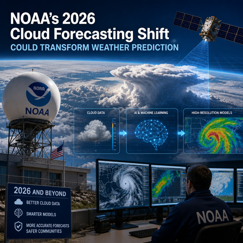
NOAA’s 2026 cloud forecasting shift could make weather predictions sharper by putting clouds at the center of how forecasts are built. That means better guidance for everything from rain chances and storm timing to aviation, farming, and daily planning.
By: pedropadm2025@gmail.com on July 28, 2026
Clouds may look harmless from the ground, but for weather forecasters, they are one of the most important and difficult parts of the atmosphere to predict. That is why NOAA’s 2026 cloud forecasting shift is drawing attention across the meteorology world. By changing how clouds are observed, modeled, and assimilated into forecast systems, NOAA could improve everything from daily weather predictions to aviation planning and storm outlooks.
This shift matters because clouds influence temperature, precipitation, storm development, and even how much sunlight reaches the surface. When forecast models misread cloud behavior, they can miss key atmospheric signals. NOAA’s approach aims to narrow that gap and make predictions more useful for the public, emergency managers, farmers, pilots, and energy planners.
What NOAA’s 2026 cloud forecasting shift is about
At its core, NOAA’s 2026 cloud forecasting shift reflects a broader move toward better use of satellite data, improved cloud physics, and more advanced numerical weather prediction models. Instead of treating clouds as a secondary detail, NOAA is putting them closer to the center of forecasting.
Why clouds are so hard to forecast
Clouds are tricky because they form at small scales and change quickly. A model may accurately predict the overall weather pattern, yet still struggle to capture:
Where clouds will form
How thick they will be
Whether they will rain or simply drift overhead
How long they will last
How they will interact with temperature and humidity
Clouds also vary by altitude, type, and moisture content. A thin cirrus cloud behaves very differently from a low stratus layer or a towering thunderstorm cloud. Forecast systems must translate all of that complexity into usable predictions.
Why this matters now
Forecast models have improved a great deal, but clouds remain one of the biggest sources of uncertainty. Better cloud prediction can improve:
Short-term weather forecasts
Severe storm guidance
Solar energy output estimates
Aviation routing and safety
Wildfire smoke and air-quality modeling
Snow and precipitation timing
That makes NOAA’s 2026 initiative more than a technical upgrade. It is a practical change with real-world benefits.
How cloud forecasting affects everyday weather predictions
Most people think of weather prediction in terms of rain, snow, or temperature. Yet cloud forecasting often sits underneath those outcomes. If a model gets the cloud layer wrong, it may also get the forecast wrong.
Cloud cover changes temperature
Clouds influence how much heat the Earth absorbs during the day and how much it loses at night. For example:
Thick clouds can keep daytime temperatures cooler by blocking sunlight
Clear skies can allow stronger daytime warming
At night, clouds can trap heat and keep temperatures milder
A small error in cloud prediction can lead to noticeably different temperature forecasts.
Clouds help determine whether precipitation forms
Not all clouds produce rain, but many precipitation events begin with cloud formation. Forecasting when clouds deepen into rain-bearing systems requires knowing moisture, instability, and vertical motion in the atmosphere. If those features are missed, the timing and amount of precipitation can be off.
Clouds affect severe weather setups
Thunderstorms often rely on the right cloud structures and atmospheric ingredients. Better cloud analysis can help forecasters identify when the atmosphere is primed for:
Strong updrafts
Hail formation
Heavy downpours
Rapid storm development
That does not mean every storm can be predicted perfectly, but it can improve the quality of warnings and guidance.
The technology behind NOAA’s cloud forecasting improvements
NOAA’s cloud forecasting shift is likely to depend on several overlapping advances rather than one single tool. The most important pieces include satellites, data assimilation, machine learning support, and improved physical modeling.
Satellite observations are becoming more useful
Satellites provide a wide view of cloud patterns across oceans, remote regions, and storm systems. Modern sensors can detect:
Cloud height
Cloud thickness
Cloud top temperature
Water vapor distribution
Ice and liquid cloud properties
These observations are especially valuable where surface weather stations are sparse. NOAA can use them to improve the starting conditions for forecast models.
Data assimilation brings observations into the model
A weather model is only as good as the information fed into it. Data assimilation blends observations from satellites, radar, aircraft, weather balloons, and surface stations into the forecast system.
In practice, this means NOAA can use cloud observations to help the model understand:
What the atmosphere looks like right now
How cloud layers are arranged
How those layers should evolve over time
That updated starting point can make the forecast more accurate from the beginning.
Better cloud physics improves model realism
Clouds are not just blobs of moisture. They involve condensation, evaporation, ice formation, particle growth, and interactions with aerosols. Modern models attempt to represent those processes more realistically.
Improved cloud physics can help forecast systems better estimate:
When cloud droplets become raindrops
How mixed-phase clouds form
How cloud ice develops
How cloud cover changes with altitude and temperature
This matters because even a slight improvement in cloud microphysics can produce better overall forecasts.
Machine learning may support cloud prediction
Machine learning is increasingly being used in weather forecasting to find patterns in massive datasets. In cloud forecasting, it may help identify cloud structures or refine model output based on past behavior.
Used carefully, machine learning can support—not replace—traditional meteorological methods. It may be especially useful for pattern recognition and post-processing forecast output.
What NOAA’s 2026 cloud forecasting shift could mean for different sectors
The benefits of better cloud forecasting go beyond meteorology offices. Many industries depend on cloud-related weather information every day.
Aviation
Pilots and air traffic planners rely on cloud forecasts for visibility, turbulence, icing risk, and airport operations. Better cloud predictions can help with:
Flight path planning
Approach and landing safety
Low-ceiling forecasting
De-icing preparation
Even a modest improvement in cloud timing or altitude estimates can make operations smoother.
Renewable energy
Solar energy production depends heavily on cloud cover. If forecasts can better anticipate cloud movement and thickness, grid operators and energy managers can improve:
Day-ahead generation estimates
Power balancing
Battery storage planning
Grid reliability
Cloud forecasting is especially important for utility-scale solar operations where short-term variability matters.
Agriculture
Farmers use weather forecasts to make decisions about planting, spraying, irrigation, and harvest timing. Cloud cover affects:
Soil temperature
Frost risk
Evaporation rates
Rain timing
Crop stress
More accurate cloud forecasts can support smarter field management and reduce weather-related uncertainty.
Emergency management
During severe weather, cloud growth and structure often signal dangerous changes in the atmosphere. Emergency managers use forecast guidance to prepare for:
Heavy rain and flooding
Thunderstorm development
Winter weather transitions
Rapid storm intensification
Improving cloud representation may help provide earlier or more reliable situational awareness.
Why this shift could transform weather prediction
The biggest reason NOAA’s 2026 cloud forecasting shift matters is that it addresses a foundational problem: the atmosphere is interconnected, and clouds sit at the center of many weather processes.
Better clouds can improve the whole forecast chain
If models get cloud cover wrong, they may also get:
Surface temperatures
Humidity
Precipitation timing
Storm intensity
Radiation balance
By improving cloud prediction, NOAA could improve multiple forecast variables at once.
More accurate short-range forecasts
The most immediate gains may appear in short-term forecasts, where cloud changes happen quickly and local conditions matter most. That can improve forecasts for the next few hours to a few days, which are often the most useful for the public.
Better model performance in complex weather
Cloud forecasting is especially difficult in situations with fast-changing conditions, such as:
Convective storms
Coastal fog
Winter precipitation transitions
Mountain cloud formation
Tropical weather systems
If NOAA’s updates help models handle these scenarios better, forecasters will have stronger tools for complex events.
Challenges NOAA still has to solve
Even with major progress, cloud forecasting will not become perfect. The atmosphere is too complex for that. NOAA still faces several challenges.
Cloud variability at small scales
Clouds often form and change on scales that are smaller than the resolution of many models. If the grid is too coarse, important details can get lost.
Limited direct observations
Satellites provide huge amounts of data, but not every cloud property is easy to measure directly. Some observations still require interpretation or approximation.
Balancing accuracy and speed
Forecast systems need to be both accurate and timely. Higher-resolution cloud modeling can improve detail, but it also increases computational demands.
Communicating uncertainty
Even better models still involve uncertainty. Forecast communication must make it clear when confidence is high and when conditions could shift quickly.
What the public should watch for in 2026
As NOAA rolls out new cloud forecasting capabilities, the changes may not arrive all at once. Instead, improvements may show up gradually in forecast products and decision-support tools.
Possible signs of progress include:
More precise cloud cover forecasts
Better sunrise and sunset cloud predictions
Improved rain start/stop timing
Stronger short-range storm guidance
More reliable aviation and energy forecasts
For most people, the benefit will be simple: forecasts that feel more consistent with what actually happens outside.
How to use better cloud forecasts in daily planning
You do not need to be a meteorologist to benefit from cloud forecasting improvements. You just need to know how to apply them.
Practical ways to use cloud forecasts
Check cloud cover before planning outdoor events
Review cloud timing for photography or stargazing
Use cloud forecasts for solar energy expectations
Watch for low clouds or fog when traveling
Pay attention to cloud build-up ahead of storms
A simple example
Imagine you are planning a weekend picnic. A forecast that says “partly cloudy” is helpful, but a better cloud forecast may tell you whether clouds are expected in the morning or afternoon, whether they will thicken enough to cool the day, and whether rain-producing clouds may develop later. That kind of detail can change your plans.
Frequently Asked Questions
1. What is NOAA’s 2026 cloud forecasting shift?
NOAA’s 2026 cloud forecasting shift refers to planned or emerging improvements in how NOAA observes, models, and predicts clouds. It centers on better use of satellite data, improved model physics, and more accurate assimilation of cloud-related observations into forecast systems.
2. Why are clouds so important in weather forecasting?
Clouds affect temperature, precipitation, storm development, and sunlight at the surface. If a forecast model miscalculates clouds, it can also miss changes in rainfall timing, storm intensity, and daily high or low temperatures.
3. Will better cloud forecasting improve severe weather warnings?
It may help improve the supporting forecast environment for severe weather, especially by giving forecasters a clearer picture of storm development. However, warnings still depend on multiple factors, including radar, surface data, and human meteorologist expertise.
4. How do satellites help forecast clouds?
Satellites provide broad, continuous observations of cloud height, thickness, temperature, and movement. NOAA can use that information to better initialize weather models and track evolving cloud systems over large areas.
5. Who benefits most from improved cloud forecasts?
Many groups benefit, including pilots, farmers, emergency managers, solar energy operators, outdoor planners, and the general public. Better cloud forecasts support safer decisions, more efficient operations, and more reliable short-term weather planning.
NOAA’s 2026 cloud forecasting shift could become a meaningful step forward in weather prediction because it tackles one of the atmosphere’s most stubborn challenges. Clouds are not just background scenery; they shape temperature, precipitation, storm growth, and the accuracy of everyday forecasts. By improving cloud observations, model physics, and data assimilation, NOAA may help forecast systems capture the atmosphere more faithfully and provide better guidance when people need it most.
The value of this shift is practical. More accurate cloud forecasts can support safer flying, smarter energy planning, better farm decisions, and more confident public weather planning. Just as important, they can improve short-term forecast reliability in the kinds of fast-changing conditions that often cause the most disruption.
As NOAA continues refining its tools, the real payoff will be felt in the daily forecasts people rely on. If the clouds are understood more clearly, the weather picture becomes clearer too.
Peter B holds a degree in Journalism and has 5 years of experience covering U.S. economic policy, labor markets, and financial news. He writes data-driven news content on topics like inflation, interest rates, and employment trends.